

Land Surveying Services in Palmetto Bay, FL
At Land Surveying Miami, we proudly provide professional land surveying services throughout Palmetto Bay and all of Miami-Dade County. Whether you’re a homeowner, developer, or contractor in Palmetto Bay, our team delivers precise, timely surveys for residential, commercial, and construction projects. By combining advanced GPS and drone technology with decades of experience, we ensure accurate and dependable results for every project in Palmetto Bay.

Our Palmetto Bay Land Surveying Services
- Boundary & Property Line Surveys
- ALTA/NSPS Land Title Surveys
- Elevation Certificates (for Flood Insurance)
- Topographic Mapping using GPS & Drone Technology
- Construction Staking & As-Built Surveys
Planning a home addition, commercial development, or property purchase in Palmetto Bay? A professional land survey ensures your project stays on track and protects your investment. Our local surveyors provide precise, reliable results tailored to Palmetto Bay’s regulations and landscape.
Why Choose Us in Palmetto Bay
We are a locally based Miami-Dade company familiar with Palmetto Bay’s zoning, floodplain, and building requirements. Our licensed and insured surveyors deliver dependable service backed by advanced technology and decades of experience.
- ⚡ Fast turnaround times to meet project deadlines
- 📡 Advanced GPS & drone technology for unmatched precision
- 📍 Local team familiar with Palmetto Bay regulations
- 🤝 Friendly customer service and free consultations
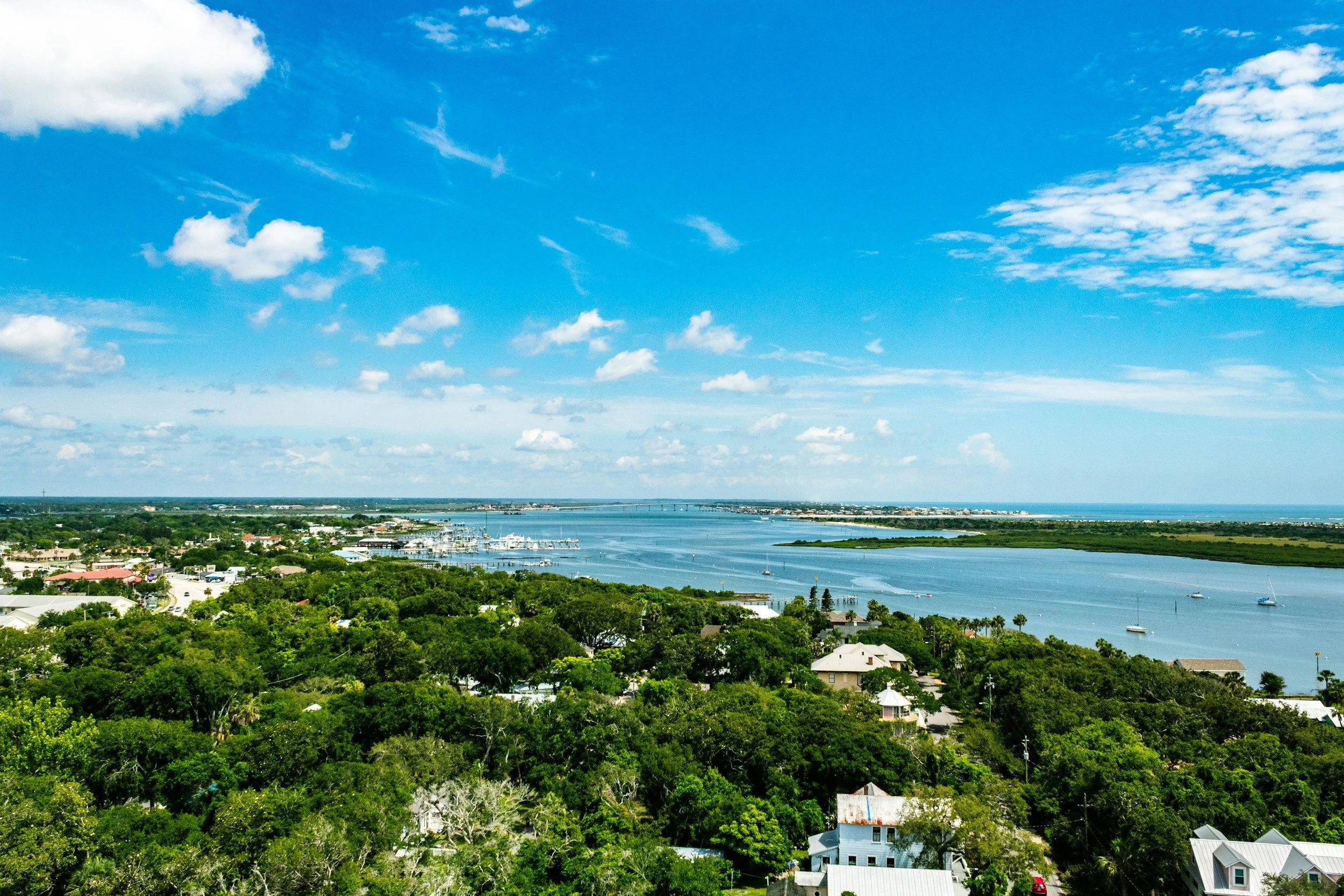
About Palmetto Bay
Palmetto Bay is a picturesque suburban village in Miami-Dade County, known for its family-friendly neighborhoods, parks, and waterways. We assist homeowners and developers throughout Palmetto Bay in obtaining accurate land surveys for property transactions, new construction, and FEMA flood insurance compliance.
Contact Our Palmetto Bay Surveyors Today
Ready to get started? Call us at (305) 895-8001 or request a free quote online. Whether you need a boundary survey, ALTA/NSPS land title survey, elevation certificate, or topographic mapping, our Palmetto Bay land surveyors are ready to help you move your project forward with confidence.
Call (305) 895-8001FAQs
-
A land survey in Palmetto Bay provides precise boundary and elevation data for real estate transactions, new construction, and FEMA flood compliance. Palmetto Bay, located in southern Miami-Dade County near US-1 and the Snapper Creek area, features residential neighborhoods, parks, and waterfront properties along Biscayne Bay. A professional survey ensures compliance with city and county zoning regulations, prevents boundary disputes, and identifies drainage, easement, or flood issues before you buy, sell, or develop property.
-
Our licensed Palmetto Bay land surveyors provide a full range of services, including:
Boundary Surveys – verify property lines for homes, fencing, and landscaping in neighborhoods like Coral Reef Estates, Old Cutler Road, and Lakes by the Bay.
ALTA/NSPS Surveys – required for commercial properties, title insurance, and waterfront lots along US-1 or major commercial corridors.
Topographic Surveys – for engineering, drainage, and construction planning in residential and commercial areas.
FEMA Flood Elevation Certificates – necessary for properties near canals, low-lying areas, or Biscayne Bay waterfront zones.
All surveys comply with Florida Board of Professional Surveyors and Mappers standards and are fully accepted by Palmetto Bay city authorities, Miami-Dade County, and FEMA.
-
A FEMA Elevation Certificate (EC) identifies how your property’s elevation compares to the Base Flood Elevation (BFE). Many Palmetto Bay properties, particularly near Old Cutler Road, Snapper Creek, and Biscayne Bay, may fall within Special Flood Hazard Areas (SFHAs). If you’re buying, building, or applying for flood insurance, a certified Elevation Certificate from a licensed surveyor is typically required.
-
Most residential boundary surveys in Palmetto Bay are completed within 3–5 business days, depending on property size and complexity. ALTA and topographic surveys may take longer, but we always communicate clear timelines to help you keep your project on schedule.
-
Yes. All surveys are conducted by Florida-licensed Professional Surveyors and Mappers (PSMs) and meet requirements for Palmetto Bay city permits, Miami-Dade County approvals, FEMA documentation, and title insurance. Whether you’re verifying boundaries in residential neighborhoods, planning construction along US-1, or obtaining flood certification near canals or waterfront areas, our team provides precise, reliable, and fully approved survey results.