

Florida Building & Land Surveying
Your trusted local source for land surveying and mapping services in Miami and Miami-Dade County.
With offices covering Florida from coast to coast, we provide homeowners, contractors, and developers with accurate, reliable, and on-time surveys — backed by decades of expertise and the latest technology.
📞 Call (305) 895-8001 or (877) 894-8001 today for a free quote!

About Florida Building & Land Surveying
Led by Rick Morales, PSM, our team of Licensed Professional Mappers and Surveyors brings unmatched experience to every project. Our company’s history is rooted in Florida’s building and development boom, providing surveying services to public and private clients across the state. We’re proud to be one of the few firms offering true statewide coverage, from the Atlantic to the Gulf Coast, while maintaining a strong local presence in Miami-Dade County.

Our Miami Land Surveying Services
Boundary & Property Line Surveys
Knowing exactly where your property begins and ends is critical in Miami, where zoning laws and lot sizes can vary block by block. Our boundary surveys help prevent disputes with neighbors and ensure you comply with local building codes before starting any project.
ALTA/NSPS Land Title Surveys
ALTA/NSPS surveys provide a full, lender-approved picture of your property, including easements, encroachments, and improvements. In Miami’s competitive real estate market, these surveys protect your investment and streamline closings by giving banks and title companies the data they need.
FEMA Elevation Certificates
Miami is in a flood-prone area, and FEMA Elevation Certificates are often required for insurance and permitting. We provide accurate elevation data so homeowners and developers can lower insurance premiums, meet city floodplain regulations, and design with confidence.
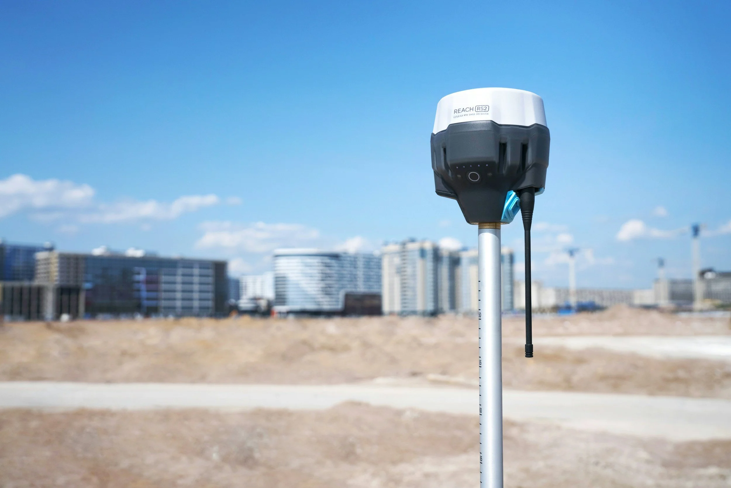
Topographic Mapping with GPS & Drone Technology
Our topographic surveys show the lay of the land—including slopes, drainage, and structures—using cutting-edge GPS and drone technology. This information is vital for Miami developers to plan grading, drainage systems, and site layouts efficiently.
Utility, Construction & Foundation Staking
We provide precise staking for utilities, building corners, and foundations to keep your project on schedule and within code. In Miami’s fast-moving construction environment, accurate staking minimizes costly mistakes and delays.
Subdivision Development Surveys
If you’re subdividing land in Miami-Dade County, our surveys ensure you meet all local regulations and produce clear plats for approval. We help developers maximize land value and speed up the permitting process.
Tower Surveys & Customized Mapping
We’re experienced in tower surveys (including FAA 2-C Certified) and customized mapping for unique or complex projects. This gives Miami developers and telecom companies the verified data they need to comply with safety regulations and plan expansions.
Mortgage and Lot Surveys
Buying or refinancing property in Miami? Our mortgage and lot surveys provide lenders and buyers with a clear snapshot of property boundaries, structures, and easements, reducing risk and avoiding future disputes.
Technology & Expertise
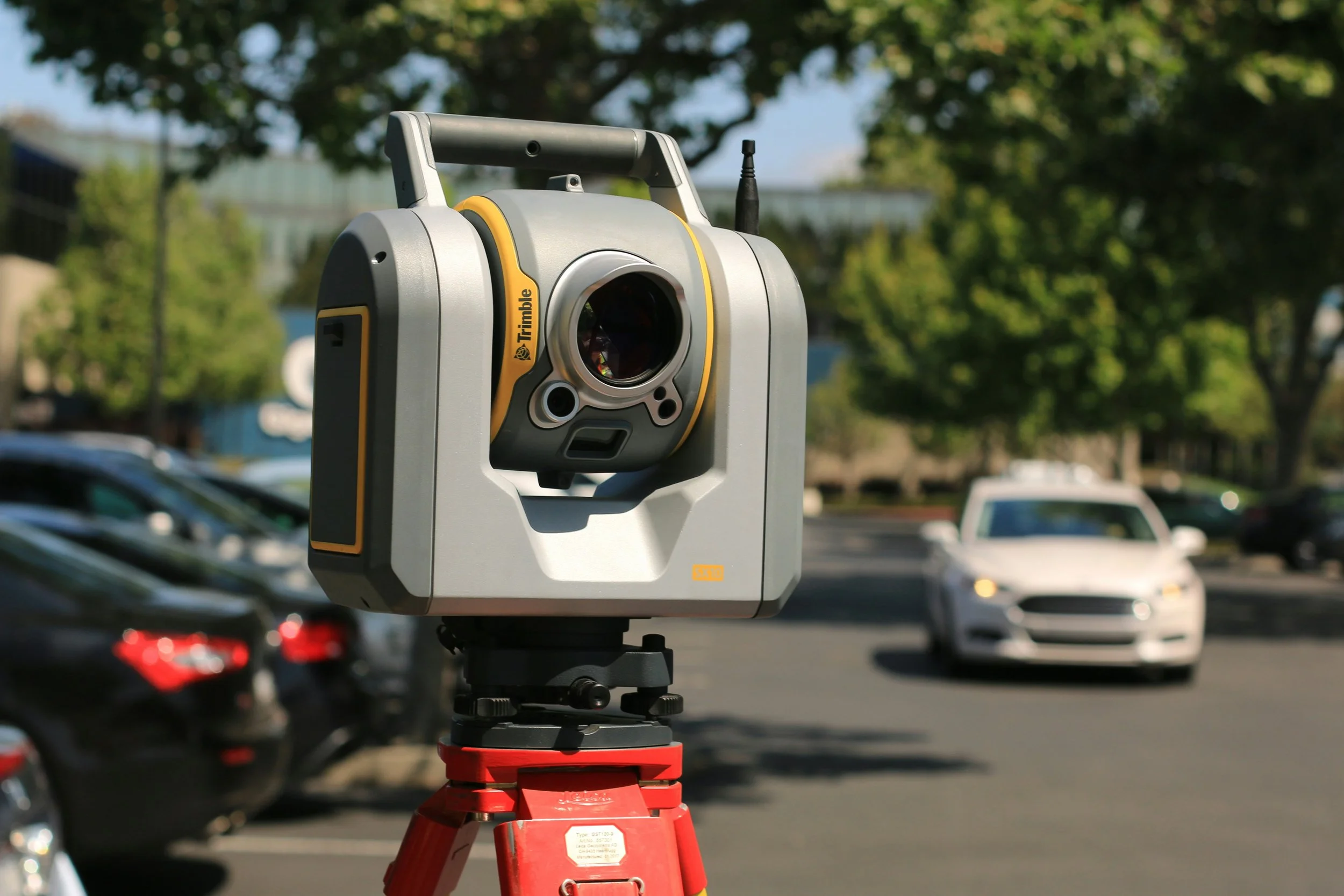
Our Miami team utilizes state-of-the-art GPS (Dual Frequency, RTK), robotics, LiDAR, and aerial mapping control surveys to ensure precise results. In the office, we use Autodesk AutoCAD and Carlson Survey systems for drafting and QA, producing highly accurate deliverables quickly and efficiently.
Who We Serve in Miami-Dade
- Residential & Commercial Developers
- Attorneys and Title Companies
- Municipalities and Government Agencies
- Real Estate Professionals
- Private Landowners


Why Choose Florida Building & Land Surveying in Miami
Led by Rick Morales, PSM with decades of surveying expertise
Team of Licensed Professional Mappers and Surveyors
Statewide coverage – Florida coast to coast
Advanced GPS, drone, and laser scanning technology
Fast turnaround and dedicated project managers
Deep understanding of Miami-Dade codes, flood zones, and coastal requirements

Contact Our Miami Land Surveyors Today
Need a land survey in Miami or anywhere in Florida? Call (305) 895-8001 or (877) 894-8001, or fill out our contact form to request a free quote. Our team of licensed surveyors is ready to deliver the accuracy, professionalism, and reliability you deserve.
Serving Broward County Too!
Need a licensed land surveyor in Broward? From Fort Lauderdale to Pembroke Pines, Hollywood, and Davie, we provide fast, accurate, and fully approved surveys for homes, commercial properties, and flood certification.
Visit our Broward County website to request a quote or schedule your survey today!
FAQs
-
We offer a full range of surveying services including Boundary Surveys, ALTA/NSPS Land Title Surveys, Topographic Surveys, Elevation Certificates, and Construction Layout Surveys. Our licensed surveyors are familiar with Miami-Dade’s unique property, zoning, and flood regulations.
-
A professional land survey defines your property’s true boundaries and identifies easements, encroachments, and setback requirements. This is essential in Miami-Dade County, where zoning codes, right-of-way widths, and floodplain zones can vary significantly between municipalities.
-
A Flood Elevation Certificate determines your property’s elevation relative to FEMA’s Base Flood Elevation (BFE). In flood-prone areas like Miami Beach, Brickell, and Coral Gables, this certificate is often required for flood insurance, new construction, or permitting.
-
You can check FEMA’s Flood Insurance Rate Maps (FIRMs) or contact us — our surveyors use the latest GIS data and Miami-Dade County flood maps to identify your property’s flood zone and determine if an Elevation Certificate is needed.
-
Yes. We service all of Miami-Dade County, including the City of Miami, Miami Beach, Coral Gables, Hialeah, Doral, Homestead, and unincorporated areas. Each jurisdiction has its own permitting and mapping requirements, and our team is familiar with local procedures.
-
Most residential boundary or elevation surveys can be completed within 3–5 business days, depending on property size and record availability. Larger commercial or ALTA surveys may take longer, but we always provide realistic timelines up front.
-
Yes. All surveys are delivered in both PDF and signed/sealed hard copy formats, Upon request, we can also provide AutoCAD (DWG) files for architects, engineers, and contractors.
-
Absolutely. All field crews and surveyors are Florida-licensed (PSM) and fully insured. We maintain compliance with all state and county standards, ensuring your survey meets legal and title requirements.
-
You can contact us by phone or email with your property address or folio/parcel ID. We’ll review the property details, check existing plats, and send you a written quote — typically the same day.