


Flood Elevation Certificates in Miami
At Florida Building & Land Surveying, we specialize in Flood Survey Miami and Elevation Certificate Miami services that help homeowners, developers, and lenders understand their flood risk and meet insurance or FEMA requirements. Led by Rick Morales, PSM, our licensed Professional Mappers and Surveyors use the latest FEMA Flood Insurance Rate Maps (FIRMs) and precise elevation measurements to protect your investment and lower your flood insurance premiums. Call (305) 895-8001 today or use our online form to get started.
What are Flood Surveys and Elevation Certificates?
What are Flood Surveys and Elevation Certificates?
A Flood Survey Miami evaluates your property’s elevation relative to FEMA’s Base Flood Elevation (BFE) and determines your flood zone classification. An Elevation Certificate Miami documents your property’s Lowest Adjacent Grade (LAG) and Finished Floor Elevation (FFE), which insurance agents and FEMA use to set your flood insurance premium or process a Letter of Map Amendment (LOMA).
Why Flood Surveys and Elevation Certificates Matter for Miami Property Owners and Developers

1. Accurate Flood Zone Determination
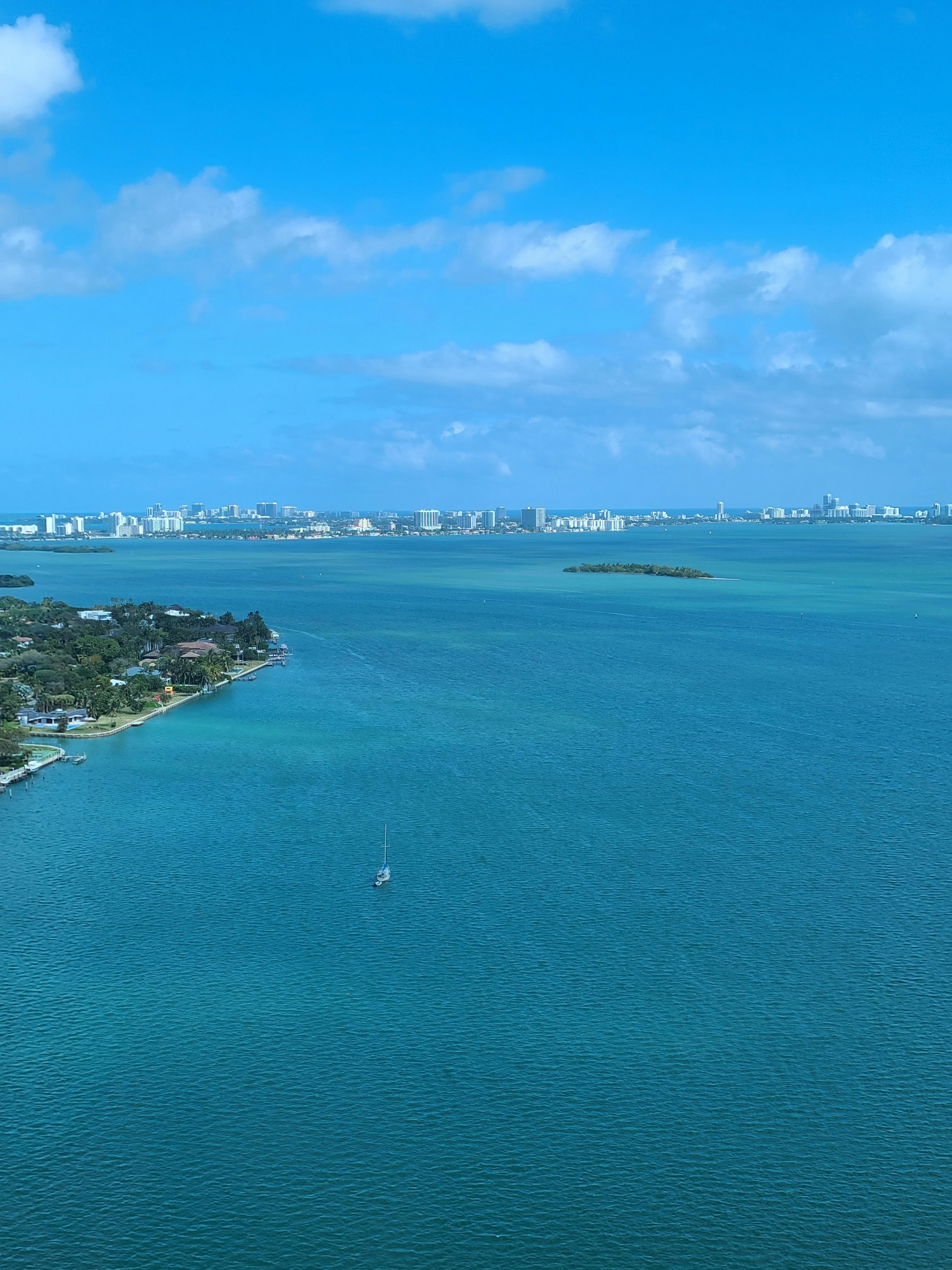
A Flood Survey Miami clearly identifies whether your property sits in or near a Special Flood Hazard Area (SFHA), giving you reliable data for insurance, financing, or development.
2. Lower Flood Insurance Premiums
If your property’s Finished Floor Elevation (FFE) is above the Base Flood Elevation (BFE), you may qualify for reduced insurance rates. An Elevation Certificate Miami is the key to unlocking these savings.
3. Support for FEMA Map Amendments (LOMA)
If your property is mapped inside a flood zone but your LAG or FFE is above BFE, we can help you pursue a LOMA to remove or reduce mandatory flood insurance requirements.
4. Peace of Mind for Property Owners
Even if you’re not required to purchase flood insurance, a Flood Survey Miami can help you understand your risk from flash flooding, storm surge, or nearby waterways.
5. Compliance with Lenders
Federally regulated lenders often require flood insurance in high-risk areas. An Elevation Certificate Miami ensures compliance and may lower your premium.

Flood Survey & Elevation Certificate in Miami
Flood Survey Miami costs vary based on property size, location, and FEMA map complexity. Obtaining an Elevation Certificate before purchasing or renewing flood insurance often saves time and money while ensuring your premium is based on accurate elevation data.
How the Flood Survey Works in Miami
- Map & Deed Research: We review the latest FEMA Flood Insurance Rate Maps (FIRMs) and your property records to determine current and proposed flood zone classifications.
- Field Measurements: Our surveyors measure your Lowest Adjacent Grade (LAG) and Finished Floor Elevation (FFE) using high-accuracy GPS and elevation equipment.
- Elevation Certificate Issued: We prepare a FEMA-compliant Elevation Certificate documenting your structure’s elevation relative to Base Flood Elevation (BFE).
- Insurance & FEMA Coordination: Your certificate can be used for accurate flood insurance quotes or to support a Letter of Map Amendment (LOMA) request.
What You Receive After a Flood Survey
- FEMA-Compliant Elevation Certificate: Includes LAG, FFE, and BFE measurements.
- Flood Zone Determination Map: Shows your property’s placement on current FEMA FIRMs.
- Insurance Support Documents: Used for LOMA applications or to reduce or remove flood insurance requirements.
Why Choose Florida Building & Land Surveying
- Experienced Team: Professional surveyors with extensive flood certification experience.
- Local Knowledge: Deep understanding of Miami’s flood zones and coastal conditions.
- Fast Turnaround: Advanced technology for quick, FEMA-compliant delivery.
- Peace of Mind: Accurate data that protects your investment and insurance costs.
Get Started Today – Flood Survey Miami
Florida Building & Land Surveying provides Flood Surveys and Elevation Certificates throughout Miami-Dade and Florida.
Call (305) 895-8001 or complete our contact form to get started.
FAQs
-
A FEMA Flood Elevation Certificate is an official document prepared by a licensed land surveyor that shows your property’s elevation compared to FEMA’s Base Flood Elevation (BFE). Insurance companies and local building departments use it to determine your flood risk and insurance rates.
-
If your home or business is located in a Special Flood Hazard Area (SFHA) or Zone AE, VE, or AH, FEMA requires an elevation certificate to verify elevation data for flood insurance or building permits. Many areas in Miami, Miami Beach, and Homestead fall within these zones.
-
Only a Florida-licensed Professional Surveyor and Mapper (PSM) can prepare and certify an official FEMA Elevation Certificate. Our surveyors follow the latest FEMA and National Flood Insurance Program (NFIP) standards for accuracy and compliance.
-
In Miami-Dade County, the average cost ranges from $250 to $600 depending on property size, location, and required documentation. Waterfront or complex properties may cost more due to additional fieldwork.
-
Most elevation certificates are completed within 2 to 5 business days after field measurements. Rush service is available for real-estate closings or permit deadlines.
-
You can check FEMA’s Flood Map Service Center (msc.fema.gov) or contact our team with your property address. We’ll verify your Flood Zone designation and determine if you need an Elevation Certificate for insurance or construction.
-
A FEMA Elevation Certificate includes:
Building elevation compared to Base Flood Elevation (BFE)
Flood zone classification (e.g., AE, X, VE)
Property and building location data
Surveyor’s certification and elevation benchmarks
Photographs of all building sides
-
If your structure is above FEMA’s Base Flood Elevation, your insurance premiums can decrease significantly. Conversely, if it’s below, you may pay higher premiums — but the certificate is still required for all NFIP-backed insurance policies.
-
You typically need a new certificate if:
The structure was modified or elevated
FEMA updated flood maps in your area
The certificate is over 5 years old and no longer reflects current conditions
Our surveyors can review your old documentation and confirm if an update is necessary.
-
Just provide your property address, contact information, and any existing survey or elevation data. We’ll schedule fieldwork promptly and deliver your certified FEMA Elevation Certificate electronically or in the mail if needed — ready for insurance, FEMA, or permit submission.
Serving Broward County Too!
Need a licensed land surveyor in Broward? From Fort Lauderdale to Pembroke Pines, Hollywood, and Davie, we provide fast, accurate, and fully approved surveys for homes, commercial properties, and flood certification.
Visit our Broward County website to request a quote or schedule your survey today!