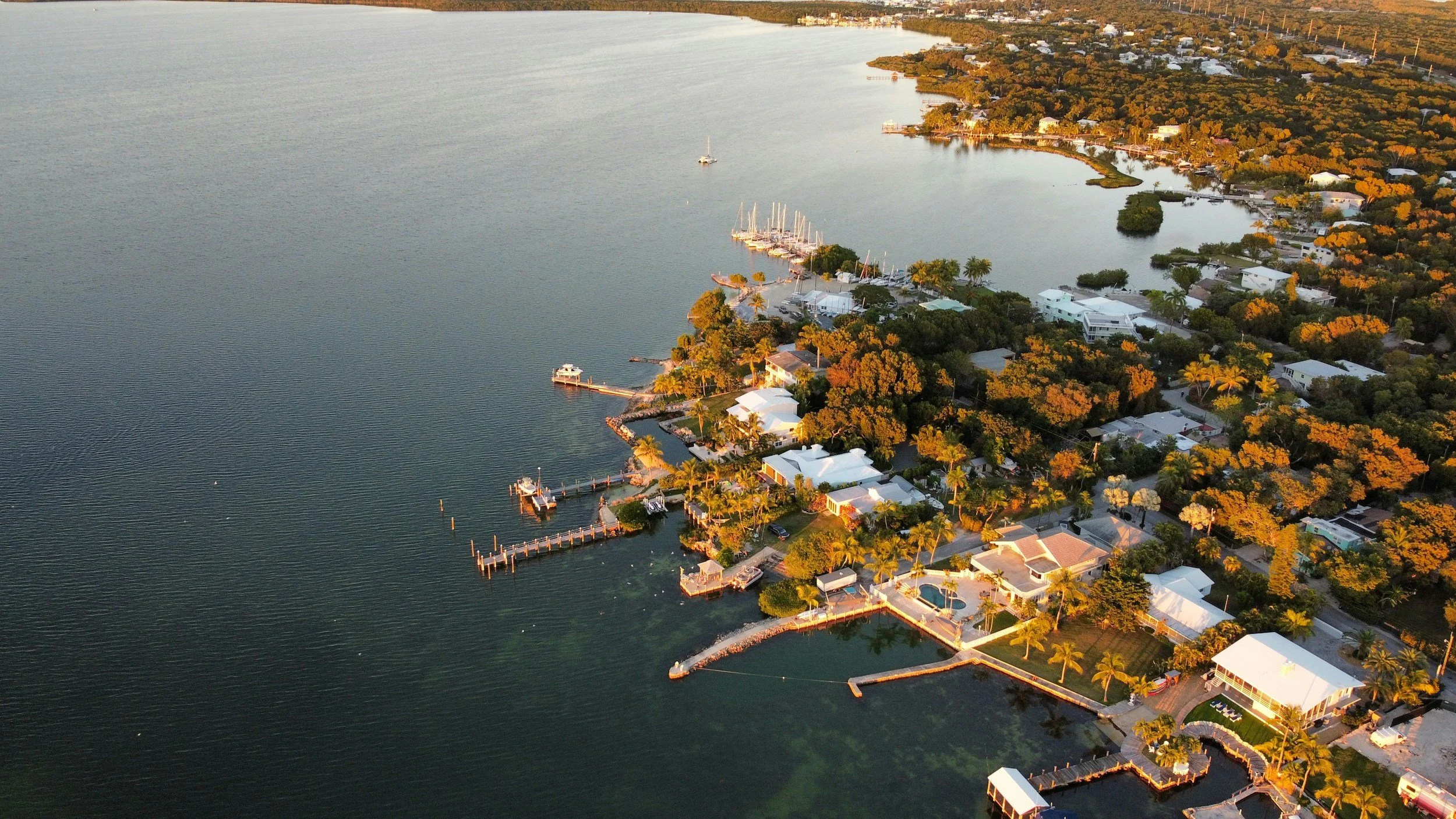
Land Surveying Services in Bay Harbor Islands, FL
At Land Surveying Miami, we proudly provide licensed, professional land surveying services throughout Bay Harbor Islands and all of Miami-Dade County. Whether you’re a homeowner, contractor, or developer in Bay Harbor Islands, our team delivers precise, timely surveys for residential, commercial, and construction projects. We combine advanced GPS and drone technology in Bay Harbor Islands with decades of experience to give you the most accurate results every time.

About Bay Harbor Islands
Bay Harbor Islands is a charming community in Miami-Dade County, known for its scenic waterfront properties, luxury condos, and boutique shopping. Our team has helped homeowners and developers in Bay Harbor Islands obtain accurate surveys for new constructions, renovations, and FEMA flood insurance compliance.
Why Choose Us
- ⚡ Fast turnaround times to meet your project deadlines
- 📡 Advanced GPS & drone technology for unmatched precision
- 📍 Dedicated local team familiar with Bay Harbor Islands and Miami-Dade regulations
- 🤝 Friendly customer service and free phone consultations
Our Bay Harbor Islands Land Surveying Services
- Boundary & Property Line Surveys
- ALTA/NSPS Land Title Surveys
- Elevation Certificates (for Flood Insurance)
- Topographic Mapping (with GPS & Drone Technology)
- Construction Staking & As-Built Surveys
Contact Our Bay Harbor Islands Surveyors
Ready to get started? Call us at (305) 895-8001 or request a free quote online. Our licensed land surveyors in Bay Harbor Islands are here to help you move your project forward with confidence.
Whether you need a boundary survey, ALTA/NSPS land title survey, elevation certificate, or topographic mapping, our licensed Miami land surveyors are ready to help you.
Why do I need a land survey in Bay Harbor Islands, FL?
A land survey in Bay Harbor Islands ensures you know the exact property boundaries, helps avoid disputes with neighbors, and is often required for permits, construction, and financing. Our licensed surveyors provide precise, reliable surveys tailored to the local regulations.
What types of surveys do you offer in Bay Harbor Islands?
We offer Boundary & Property Line Surveys, ALTA/NSPS Land Title Surveys, FEMA Elevation Certificates, Topographic Mapping, and Construction Staking. Each survey type is customized to meet your project needs in Bay Harbor Islands.
What is a Flood Elevation Certificate and do I need one in Bay Harbor Islands?
A Flood Elevation Certificate documents the elevation of your property relative to FEMA’s Base Flood Elevation (BFE). In Bay Harbor Islands, this is often required for flood insurance, permitting, and construction planning. Our team can prepare a FEMA-compliant certificate quickly and accurately.
How long does a land survey take in Bay Harbor Islands?
Survey timelines vary depending on the type and size of the property. Generally, we can complete a standard boundary survey within 3–5 business days. ALTA surveys or elevation certificates may take slightly longer due to research and documentation requirements.
Are your surveys accepted by the City of Bay Harbor Islands and lenders?
Yes. Our surveys meet all local requirements and are accepted by municipal authorities and most financial institutions. We ensure every survey is accurate, professionally prepared, and compliant with Florida state standards.
